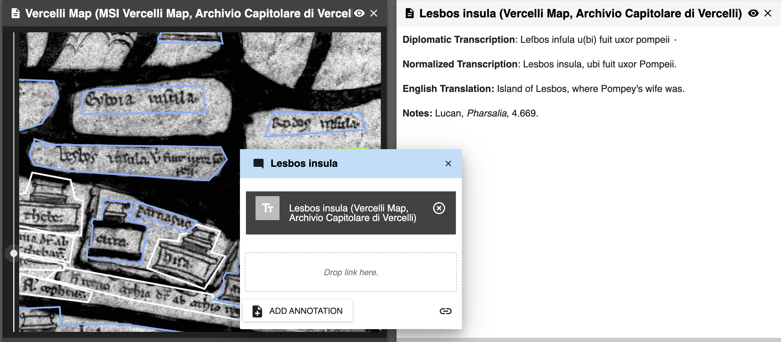
Vercelli Map Published in Virtual Mappa Project
The Virtual Mappa project now holds the publication of the badly-damaged thirteenth-century Vercelli Map. The first stage of the editing process has been completed. Included are an MSI image of the map (annotated), an RBG image (for comparison), and a general description of the map. Dr. Helen Davies and Dr. Heather Wacha have been working on editing and publishing the map’s content for three years and are pleased to announce that half of the mapmaker’s inscriptions have been revealed.
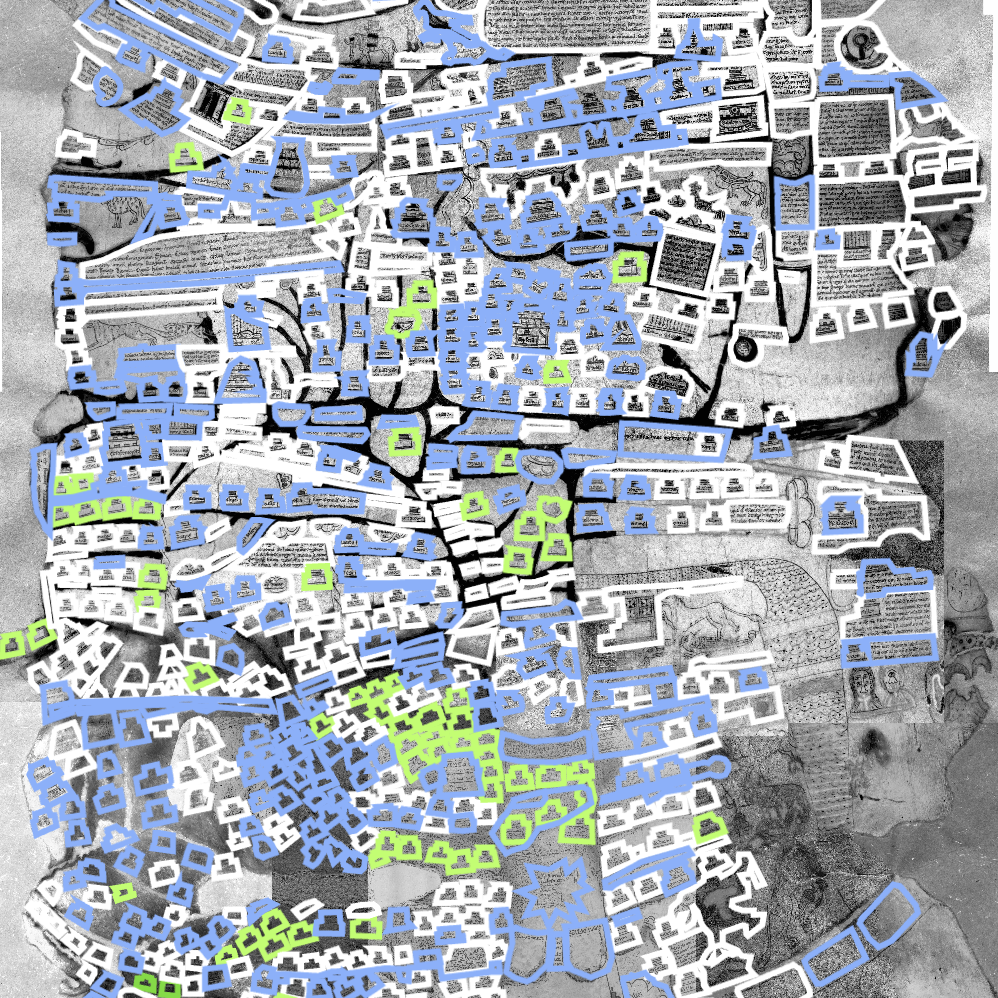
Each inscription contains an annotation with a diplomatic transcription, a normalized transcription, an English translation, and relevant notes. These are the inscriptions that appear in blue on the MSI map. Those in white will be complete Summer 2026.